Wildfire evacuation
Show how existing and future residents can evacuate while firefighters enter—and what happens if one route is blocked.
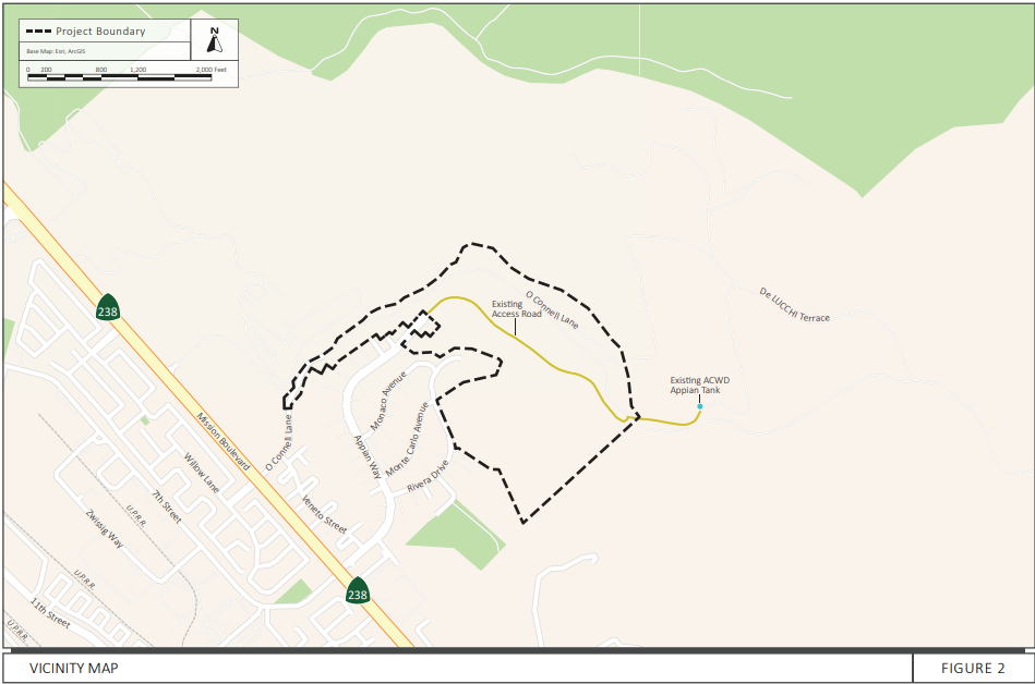
Union City is reviewing a proposal for 80 homes at the eastern end of Appian Way, above the Seven Hills neighborhood. The approximately 98.7-acre site would contain about 18.4 acres of housing and associated roads.
Mission Peak Conservancy asks the City to provide clear answers about wildfire evacuation, road capacity, and protection of the surrounding open space before approving the project.
Show how existing and future residents can evacuate while firefighters enter—and what happens if one route is blocked.
Demonstrate that the entire emergency route through O’Connell Lane will be usable, maintained, and completed before occupancy.
Explain how additional traffic will affect neighborhood streets and already-constrained Mission Boulevard intersections.
Identify who pays for road improvements, fuel management, and enforcement that keeps emergency access clear.
View the conceptual site-plan graphic — PDF page 20
Conceptual housing layout reproduced in the traffic study; underlying plan dated November 19, 2024. Consult the October 2026 plans for the latest design.
View the emergency-access graphic — PDF page 23
Proposed emergency access connection toward O’Connell Lane. How will this route function during a neighborhood evacuation?
View the October 20, 2026 Site Development Review plans